Forward Loop Software LLC
Software Applications & Software Engineering Services
FLAirQuality
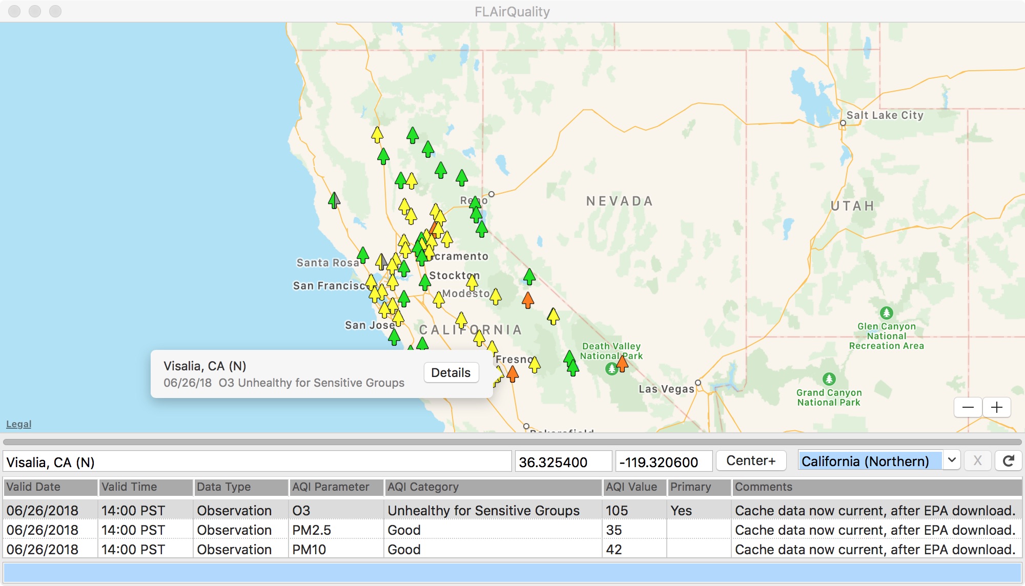
The FLAirQuality application downloads Environmental Protection Agency (EPA) air quality data
from the internet and displays it on a map, one U.S. state at a time. It has access to data for
all fifty states plus the District of Columbia. The map shows a small tree icon for each reporting
station, color-coded according to the threat to human health at that location.
When you start the application, it loads the last-selected state by default. To avoid stressing
the EPA web server and the Forward Loop data cache, the application loads one reporting station at
a time, at intervals of approximately one to four seconds. If a station is not reporting, there
will be no icon. If the available data is not from today, the map will show a half-filled one.